Standing on the footbridge, this is the view looking north west:

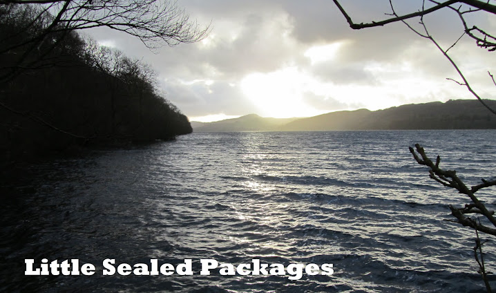
But, personally, I much prefer the view to the south east...

...with the sunlight shining through the still-bare branches and reflecting off the surface of the seemingly still water.
Whichever way it is viewed, this is the fledgling river Don, which rises as a series of small rivers in the Pennines, around Grains Moss, on the borders of Yorkshire and Derbyshire. These converge to form the source of the Don proper, which almost immediately feeds into Winscar reservoir; one of Yorkshire Water's larger reservoirs situated near Dunford Bridge.
From here, the Don winds it's way east through Penistone, and then in a southward loop under the bridge where we were stood and on to Sheffield and Rotherham. Leaving the conurbation, it turns north-eastwards towards Doncaster (not surprising considering the name) before finally mingling its waters with the Yorkshire Ouse at Goole. Originally, the Don was a tributary of the Trent (which also joins the Ouse, 10 miles further downstream) but in 1627 it's route was changed by the Dutch engineer Cornelius Vermuyden, for the purpose of making it navigable for coal barges. Although navigable rivers have largely been superseded by railways and motorways, the Don can still be travelled from Goole as far as Sheffield.
In total, the course of the Don is 70 miles, making it 20 miles longer than Derby's River Derwent which also rises within a few miles of Winscar Reservoir, but on the more southerly slopes of the Pennines.
I find it interesting that the two rivers rise so close together and both end up in the North Sea via the Humber, yet follow such different courses during their 'lives'. I'm sure that there is an analogy there somewhere.


No comments:
Post a Comment